 wehub-resource-sync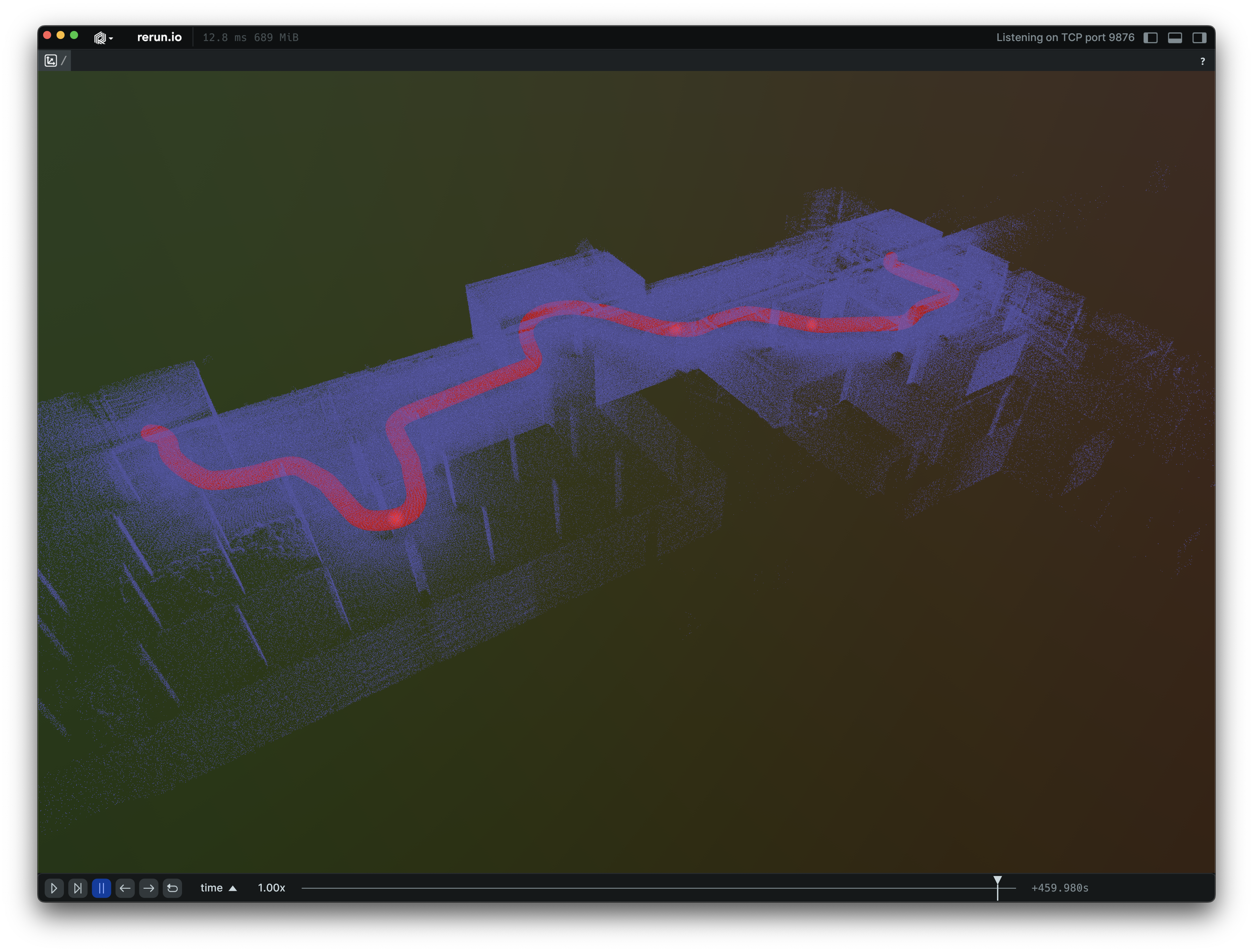
Background
This example displays drone-based indoor LiDAR data loaded from a .las file. This dataset contains 18.7M points, acquired at 4013 distinct time points (~4650 points per time point). The point data is loaded using the laspy Python package, and then sent in one go to the viewer thanks to the rr.send_columns() API and its .partition() helper. Together, these APIs enable associating subgroups of points with each of their corresponding, non-repeating timestamps.
Flyability kindly provided the data for this example.
Running
Install the example package:
pip install -e examples/python/drone_lidar
To experiment with the provided example, simply execute the main Python script:
python -m drone_lidar
If you wish to customize it, explore additional features, or save it, use the CLI with the --help option for guidance:
python -m drone_lidar --help