 wehub-resource-sync
7df9ebf22c
wehub-resource-sync
7df9ebf22c
1.9 KiB
Attribute Table
The Attribute table shows the records of the selected vector or DuckDB layer. Expand it from the Attribute table button on the status bar at the bottom of the window, then select a layer in the Layers panel to populate it.
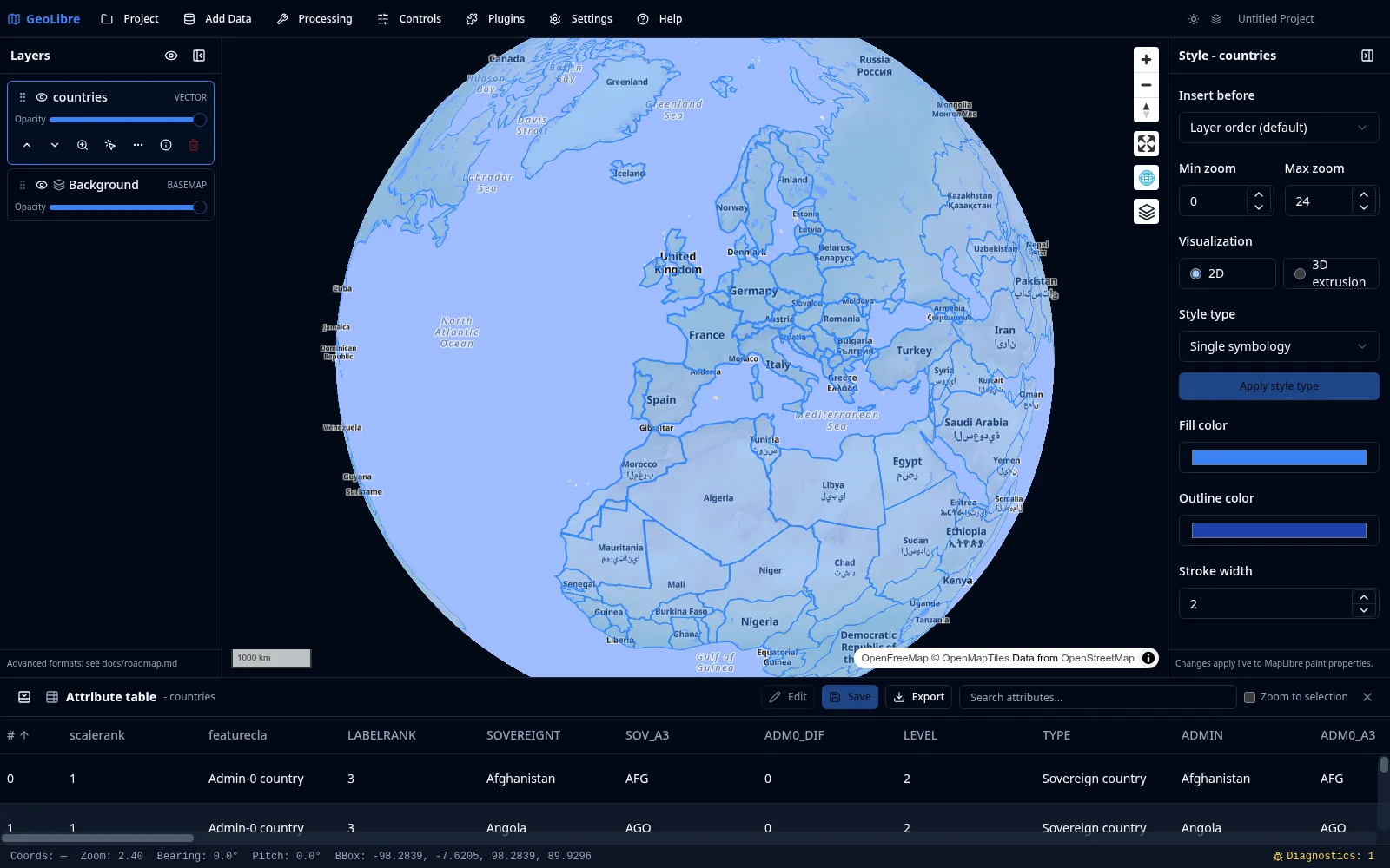
Reading and navigating
- Sort by clicking a column header to order rows ascending or descending.
- Resize columns by dragging their borders, and scroll horizontally when a layer has many fields.
- Filter rows by attribute value to narrow large tables.
Linking to the map
The attribute table and the map stay in sync:
- Selecting a row highlights the corresponding feature on the map.
- You can zoom the map to the selected feature.
- Selections support multiple features at once.
Editing values
For editable layers (including GeoJSON layers and materialized DuckDB layers), you can edit attribute values inline. Combine this with the GeoEditor plugin to edit both geometry and attributes. See Managing Layers.
DuckDB layers
Layers produced by the SQL Workspace or added from a DuckDB source behave like vector layers here, with full identify, selection, and attribute table support. You can keep several DuckDB query-result layers open at once.
Exporting
You can export the records you are viewing as GeoJSON, GeoParquet, GeoPackage, a zipped Shapefile, or CSV (attributes only). The same formats are available from a layer's context menu in the Layers panel. Exporting to Shapefile surfaces a warning when field names exceed the format's 10-character limit. The SQL Workspace additionally exports query results as CSV or GeoParquet, and the Conversion tools write cloud-native formats.